Brought to you by , Funkhouser Real Estate Group, , scott@HarrisonburgHousingToday.com
Thursday, February 28, 2019
Here's a fun/cool resource to check out in your free time...
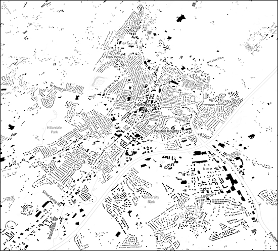
The New York Times published an online, interactive map of every building in the United States! Each building is represented by a black box spec on the map.
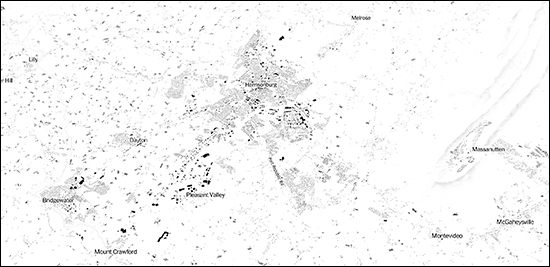
Here's another, wider view of our area...
Check out the actual article over at the New York Times for extensive analysis, commentary and other map examples.
For example...
"Where buildings are clustered together, in downtowns, the image is darker, dense. As suburbs stretch out with their larger lawns and malls, the map grows lighter. Your eye can follow the ways that development conforms to landscape features like water and slopes."
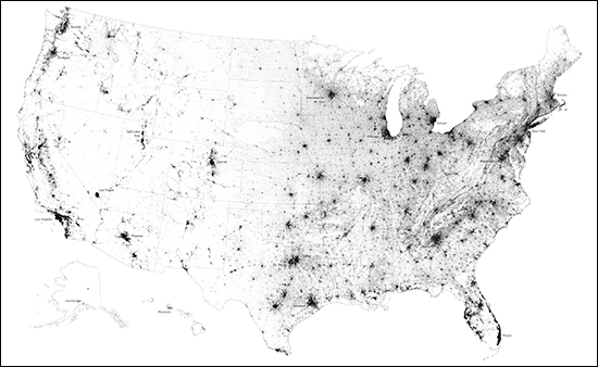
Oh, and here's the entire country...
Find the full article and commentary over at the NY Times here...


